
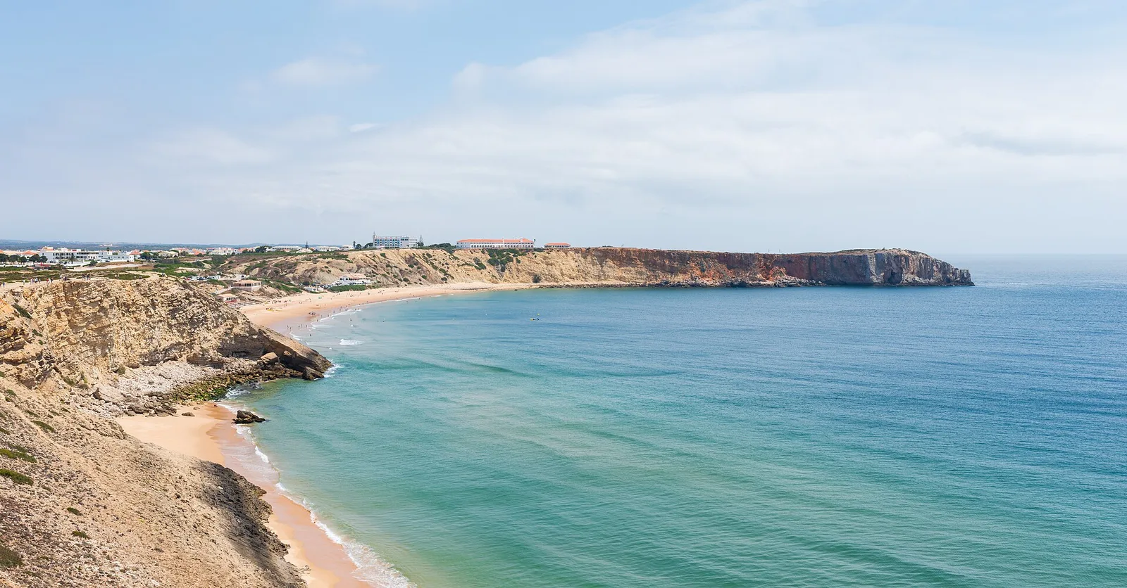
A useful climate reference for Sagres
IPMA’s 1991–2020 record at Sagres / Quartel da Marinha gives average daily maximum temperatures of about 16°C in January and 26°C in August. These are long-term station averages, not a prediction for a holiday week. They help explain why the far-west headland should not simply be described using temperatures from Faro or an inland resort. Hot spells and cooler days both remain possible.
Summer on an exposed coastline
Summer suits a holiday with beaches and outdoor time at its centre, but bring clothing for wind as well as sunshine. A sheltered spot in town does not describe the fortress promontory or the cape. Choose your beach by the conditions and its orientation, and give long exposed walks a realistic place in the day. Sun protection remains useful even when the breeze makes the air feel comfortable.
Walking seasons and quieter months
Spring and autumn can suit visitors who want landscape, shorter walks and time in the fortress rather than an exclusively beach-led trip. Build flexible days and choose a proper established route. Rota Vicentina recommends its coastal walking stages between September and June; that does not remove the need to assess individual conditions. For winter, prioritise a comfortable property and outings that can be shortened when wind or rain makes exposed places unpleasant.
Match the forecast to the outing
Read local temperature, rain and wind together. For a sea activity, the marine conditions matter separately from a pleasant air forecast. A cape visit, a surf lesson and a beach picnic can need different choices on the same day. Follow flags and operator decisions, and keep a sheltered alternative such as a shorter town outing. The goal is to use Sagres’s varied coastline, not to force one planned activity into unsuitable conditions.