
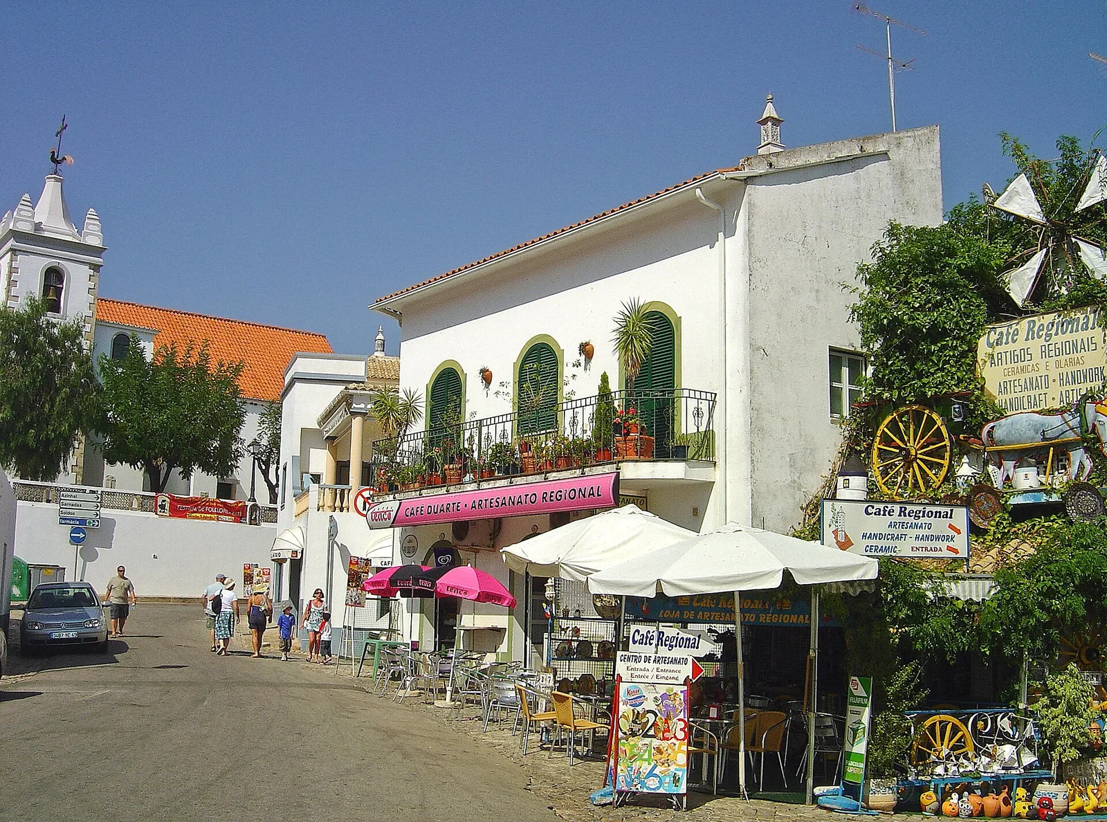
Walk the historic centre in a small loop
Use the parish church and the surrounding streets as a simple orientation point. A compact route gives you time to notice doorways, chimneys and village art without repeatedly covering the same slope. The lanes are part of an inhabited place, so keep entrances clear when stopping for photographs.
Cobbles and steps can make a short outing more tiring than its distance suggests. If anyone in your group needs a gentler route, choose the next street with that in mind instead of committing to every shortcut shown on a map.
Treat the springs as a linked outing
The Fonte Pequena and Fonte Grande areas belong to the same stream landscape and combine naturally with a village visit. Look at your starting point and decide whether to walk out and return along the same route or include a section of village streets.
Choose a turnaround point before the walk becomes longer than you intended. This is especially helpful for families: a pause by the water and a relaxed return may work better than adding the waterfall because it appears nearby on the screen.
Separate casual walks from trail days
The Via Algarviana continues beyond Alte into the Barrocal countryside. Its stages are through-routes between settlements, not circular village paths. Before following the waymarks out of town, decide whether you are taking a short out-and-back walk or committing to a stage with transport at the far end.
Download the official route information and keep enough battery for the return. A countryside track may cross working land or meet a road, so follow the designated route and close gates as instructed rather than improvising a shortcut.
Use a vehicle for a wider itinerary
A car or booked lift makes it easier to combine Alte with places such as Salir, Loulé or São Bartolomeu de Messines. Group stops by direction and leave room to explore each one. Several nearby-looking villages can still make an overfull afternoon when you add walking and lunch.
For bus travel, use the Vamus planner for the exact start and finish points. If the service pattern does not fit an evening return, settle that issue before you leave. Do not rely on finding a taxi immediately at a rural trail end.
Make meeting and access arrangements precise
When arranging a lift, use a named, road-accessible meeting point and send its map pin. A photograph of the spot can help when the group and driver do not share a language. Avoid choosing a narrow lane simply because it is closest to the last attraction.
For mobility access, consider the whole outing: vehicle drop-off, paving, gradients, steps and somewhere to sit. Ask your accommodation or the local tourism service about the specific route you want to use. A shorter accessible plan is more useful than a long list of sights that does not suit the group.